WASHINGTON (November 22, 2021) – The Technology Policy Institute is excited to announce its new initiative, “TPI’s State of Broadband: Broadband Maps for States.” Powered by the same engine used in TPI Broadband’s national map, users can harness the power of combined datasets, yielding insights that would have been impossible from a single source. This addition to the TPI Broadband program, the “State of Broadband” is a series of interactive maps focused on each state allowing the user to have an individual focus specific to their interests.
TPI’s “State of Broadband” maps help users identify areas likely to benefit from policy interventions and receive infrastructure grants. With comprehensive broadband metrics tailored to specific regions, users can gain an extensive understanding of coverage in counties, state legislative districts, federal Congressional districts, and even individual census blocks. The “State of Broadband” series offers unrivaled customization with the most granular data available, making it the premier tool for officials tasked with funding broadband infrastructure projects in their local districts.
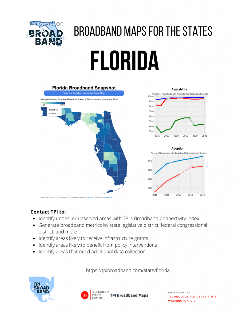
A visual example from the Florida edition of TPI’s “State of Broadband” series, is attached below. To access other editions, visit tpibroadband.com/state. Please feel free to reach out to Mike Jones at ([email protected]) with any questions regarding the “State of Broadband” series.


